
South Swell On Tap For Opening Days Of Rip Curl WSL Finals
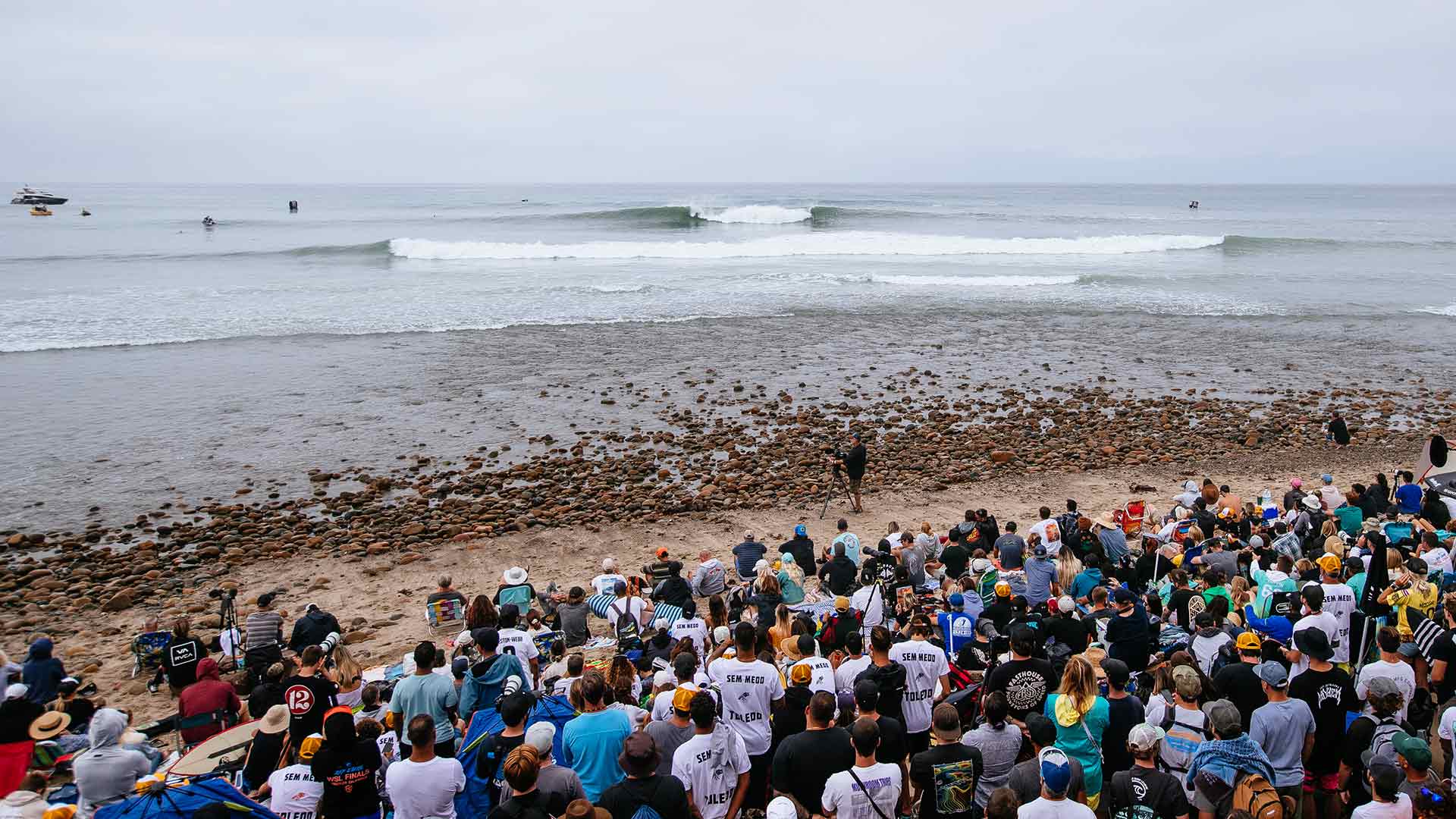

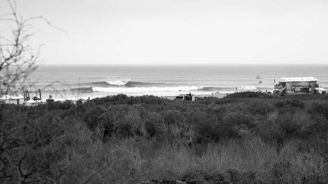
The Rip Curl WSL Finals have arrived, and with the 2022 world titles coming down to one day of surfing, there's no denying just how important the surf forecast is. Luckily, the crew at Surfline are remarkably good at what they do, especially when it comes to forecasting Lowers. With decades of historical records to study, they literally have it down to a science.
Looking into their crystal ball, the official Surfline surf forecast for the WSL Finals is looking quite promising. The waiting period for the event runs from September 8-16, and it appears there will be waves right out of the gates. There are a few factors in play, including the possibility of some tropical energy. Surfline's Kevin Wallis breaks it down as follows:
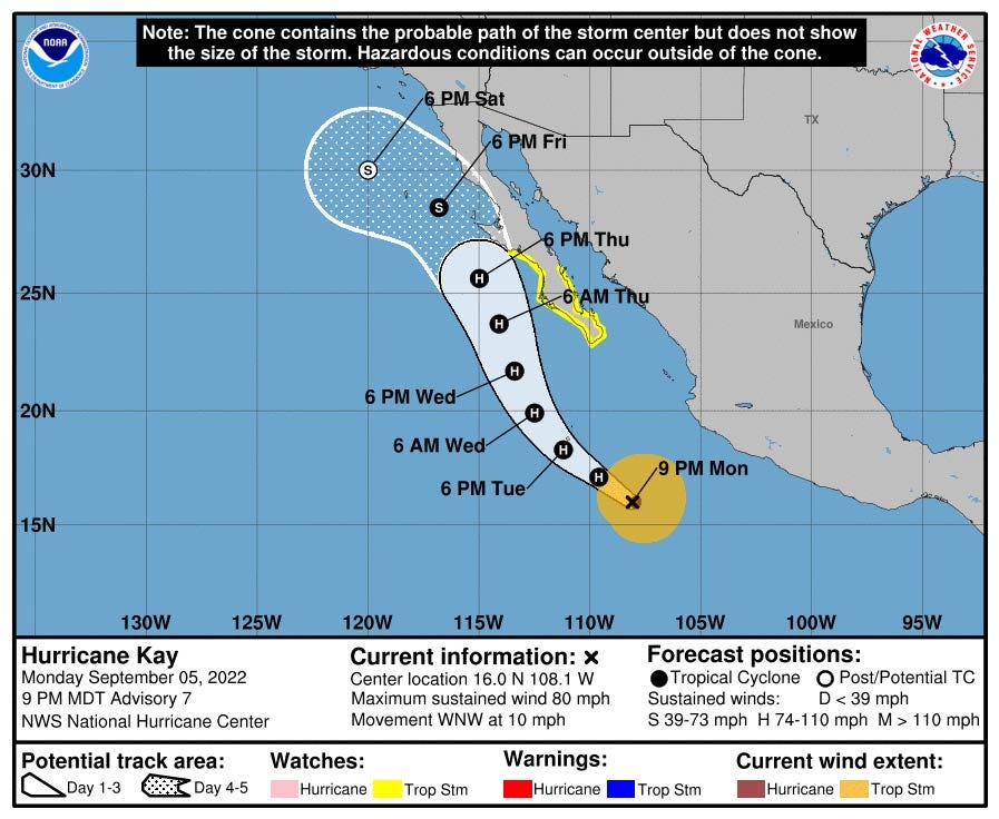
The second half of the week and the weekend remains a very dynamic forecast with surf, wind and weather impacts from Tropical Cyclone Kay likely. The largest surf of the event window is expected during the first couple days of the event, but decent surf remains on the radar for the last few days of the window as well.
First, we have overlapping SSW Southern Hemisphere swells that are confirmed and on the way. The first is building today and will be strongest late today and Wednesday before easing on Thursday. The second builds slowly on Thursday and eventually peaks on Friday afternoon before easing on Saturday.
While not large, these long period swells will set up good quality surf at Lowers, running from shoulder high to a touch overhead on their own Thursday through Saturday. The biggest and most consistent periods should be Thursday morning and Friday afternoon – with the larger sets running 1-2’ overhead (6-7’ faces).
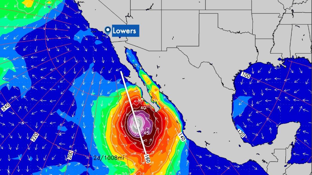
Confidence is slowly growing on precise surf impacts from Hurricane Kay. We should see some small, extreme angled SE swell late Thursday and Friday that will be generated by Kay in the next 24-30 hours. Kay will be tracking right along the Lowers swell window during that time and while much of its wind will be shadowed by Central Baja, a small portion of wind and swell should be able to make it in. We don’t anticipate much size from Kay on its own Friday but should help a little bit with surf consistency.
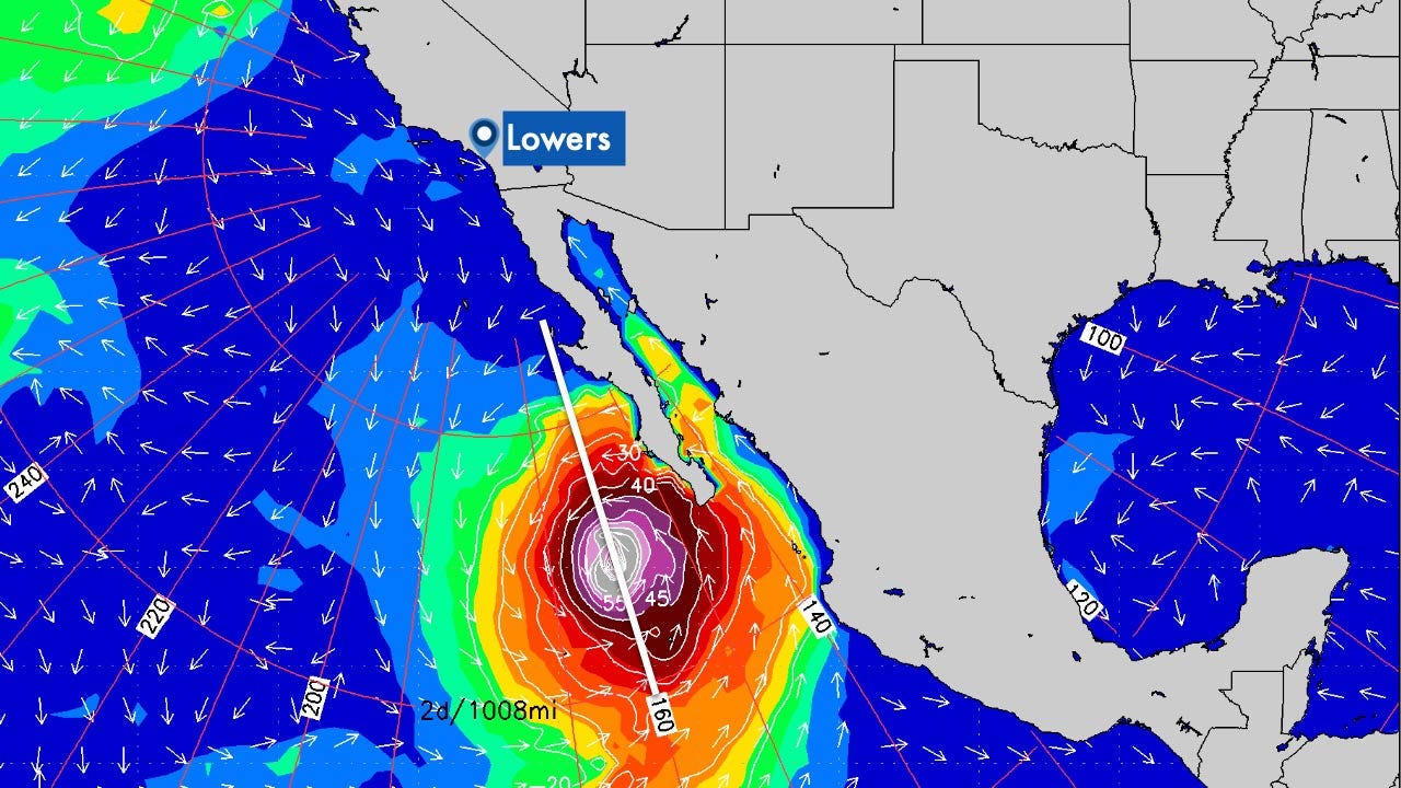

Kay is also expected to impact our wind and weather for the end of the week and through the weekend. The circulation of the weakening – or possibly remnant – tropical cyclone could set up offshore easterly wind on Friday but we’ll now need to monitor the potential for onshore SE wind to develop as well, especially through the afternoon. For the weekend it currently looks like we’d trend to light morning wind – either light/variable or light offshore – with light onshores for the afternoon.
Finally, there is a chance of rain over the weekend, along with isolated thunderstorms at the coast. Stay tuned, we’ll continue to slowly refine all the details and impacts from Kay in the next couple days.
Going further out, decreasing surf from a southerly swell mix is currently expected Sunday the 11th and Monday the 12th.
Our next round of long period SW swell will slowly build on the 13th and looks strongest on the 14th-15th. We may see some lingering S swell all the way through mid next week as well. This looks a notch or two smaller than the SSW Southern Hemi swell the 8th-9th (regardless of what we get from Kay). Stay tuned, we’ll keep an eye on it.
